We Found You!!
We have located you in the region.
Navigate to the view diary button to switch to a diary at this location.You can change directories at any time by clicking on the Choose a Region button
Search Community Directory
Camooweal, Queensland
Local Services in Camooweal
Upcoming Events in Mount Isa

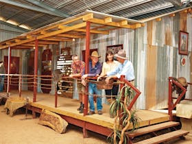
Located on the Queensland-Northern Territory border, Camooweal is a small town brimming with history and natural wonders. Situated 188 km west of Mount Isa and 440 km from the Stuart Highway, it proudly stands as the “Gateway to the Northern Territory/Queensland.” The journey to Camooweal from Mount Isa follows "Tojo’s Highway," constructed during World War II as a strategic link between southern Australia and the Northern Territory. Established in 1884, Camooweal has a fascinating history. Explorer William Landsborough passed through the area in 1862 during his search for Burke and Wills, inspiring early pastoralists to settle here. Though its growth was limited by the rise of Mount Isa, Camooweal remains a vital part of the region, with the 188-kilometre Barkly Highway between the two towns famously referred to as the world’s longest main street. Beneath the surface, Camooweal hides a treasure trove of ancient caves and sinkholes formed 500 million years ago during the Cambrian Period, offering a unique experience for seasoned cavers. Every August, the Drover’s Camp Festival celebrates the heritage of Australia’s droving era, drawing visitors from far and wide. Other must-see attractions include the Barkly Tableland Heritage Centre, Freckleton’s Store, Camooweal Caves National Park, Camooweal Cemetery, and the Drovers Camp Information Centre, all showcasing the town’s rich culture and history. Camooweal is more than a stopover—it’s a journey into the Outback’s heart.
Postcode: 4828Area: 2.74 km2LGA: Mount Isa CouncilPopulation: 187